Weuseddronestotakephotosfromthe air.
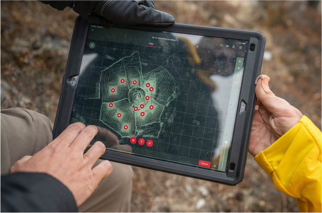
ThisLIDARscanshowsustheshapeofthe land.
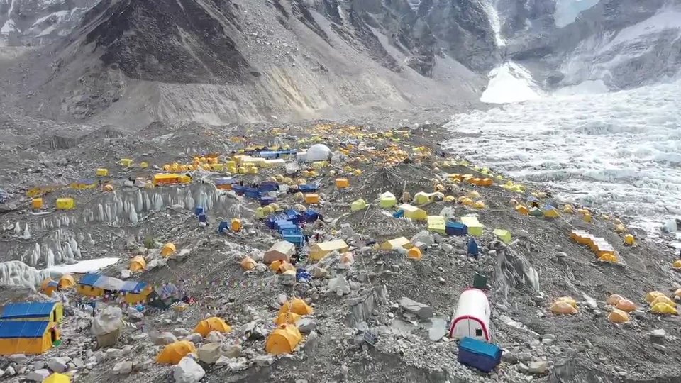
Bird's‑eyeView
TobestandingintheshadowofMountEverestisexciting.Inormallyworkinanoffice.IworkwithalltheteamsthatmakemapsatNationalGeographic.Ialsohelpcollectdatabytaking“fieldtrips,”likethis expedition.
Forthisexpedition,myrolewastomaptheareaaroundEverestBaseCamp.IalsomappedtheKhumbuGlacier,thehighestglacieron Earth.
Wecollecteddatausingmanytools.Ontheground,weusedatechnologycalledLIDAR.Itusesabeamoflighttomeasuretheshapeoftheland.Fromtheair,weflewinhelicopterstophotographareaswewantedto map.
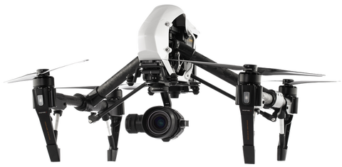
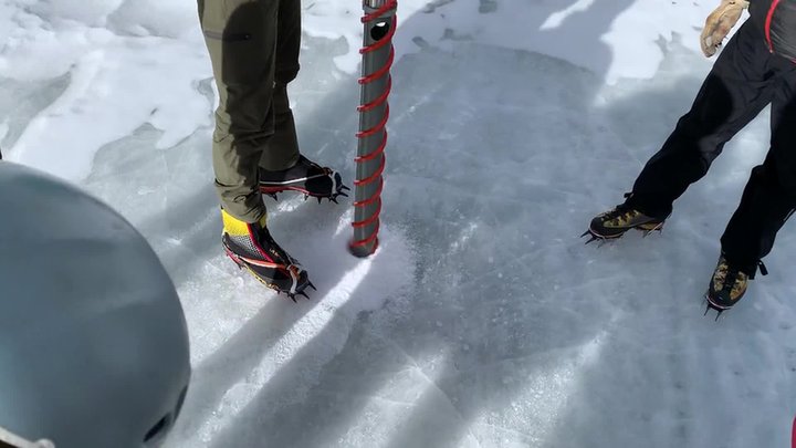
Wealsouseddrones.Usingdronesathighaltitudewashardwork!Theairisthinnerhere.Sothepropellersneededtobesteepertohavemore“bite”astheyspin.AcameraonthedronepointsdownatEarth.Ittakesdetailed pictures.
Wecanstitchallthepicturestogethertomakeabiggerpicture.Wecanusethisphoto‑maptoseewhatthearealooksliketoday.Wecanalsocompareittopast maps.
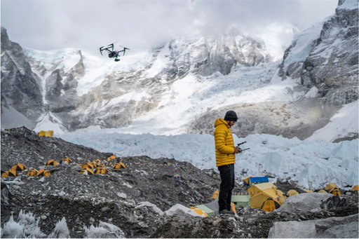
AteammemberusedadronetohelpmapEverestBase Camp.
Theteampracticedtakinganice core.
IceCores
Ourteamtookicecoresatseverallocations,too.What’sanicecoresandwhydoweneedit?Anicecoreisalongpieceoficethatisacrosssectionoftheglacier.Weuseabigdrillto pullit out.
Oncewehaveicecores,wecanstudyaglacier’slayers.Wecanfindoutaboutwhattheclimatewaslikeinthepast.Wealsocollectedsnowsamplestoseehowmuchpollutionwasinthe snow.
WeatherStations
Tomeasurethechangingclimate,ourteamsetupautomaticweatherstations,orAWS.Wesetupfivestations.Eachwillmeasuretemperature,precipitation,pressure,andsolarradiation.Eachwillsenddataviasatellitestoacomputer.Thatway,wecanmonitorthe weather.
Overtime,wecanseehowtheweathercomparestootherplacesinNepalandaroundtheworld.Thelongertherecord,thebetterwecanassesshowtheclimateischanging.Betterweatherforecastswillalsomakeclimbing safer.
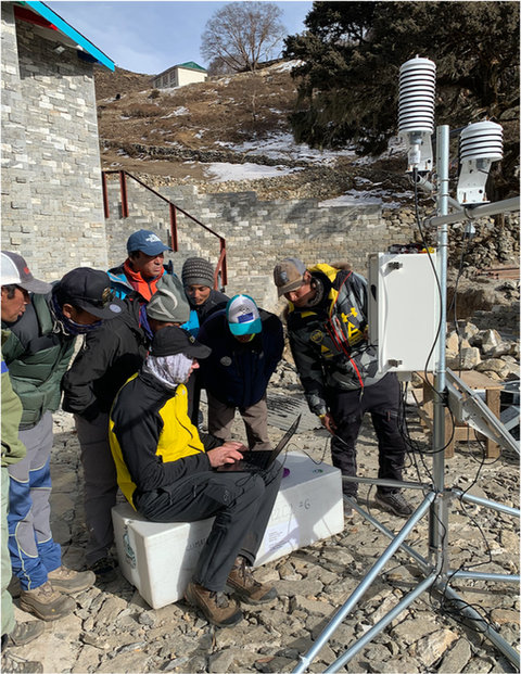
Theteamsetupaweather station.
ScienceandExploration
Theweekspassed.Itwasn’teasy.Wehadtowaitoutsnowstorms.Wehad towatchforavalanchesandlearnhowthehighaltitudewouldaffectour bodies.
Yet,weallreturnedhomesafe.Withthedatawecollectedandwillcollect,wecanspreadthewordaboutwhatishappeningtoourhigh mountains.
LIFEAT
THEEXTREMES
Theexpeditionhascollectednewdataaboutweatherandclimate.Tofindoutmore,visitnatgeo.com/everest