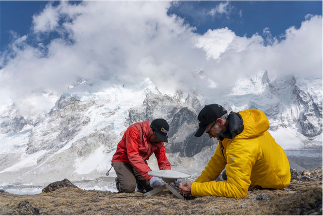
ThebasecampmanagerandIsetupasurveystationfor3-D mapping.
Bird's‑eyeView
Tobehereisexciting.InormallyworkinanofficeinWashington,D.C.Iworkwithteamsthatmakemaps.Sometimes,Ihelpedcollectdataon“fieldtrips,”likethis expedition.
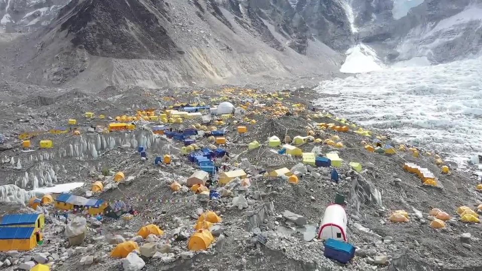
Here,myrolewastomaptheareaaroundBaseCamp.IalsomappedEarth’shighest glacier.
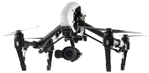
Weuseddronestotakephotosfromthe air.
Theteamusedmanytoolstogatherdata.Wetookphotos.Weuseddrones,too.AcameraonadronepointsdownatEarth.Ittakesphotosfromtheair.Weputthephotostogethertocreateabigger picture.
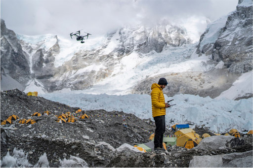
AteammemberusedadronetohelpmapEverestBase Camp.
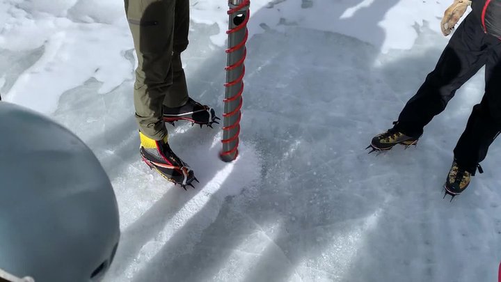
Theteamtookanice core.
Ourteamalsotookicecores.Anicecoreisalongpieceofice.Withit,wecanstudyaglacier’slayers.Wecanfindoutwhattheclimatewaslikeinthe past.
Weputweatherstationsonthemountain,too.Overtime,theywillshowushowtheclimatechanges.Withallofourdata,peoplewillsoonknowwhatishappeninginthis place.
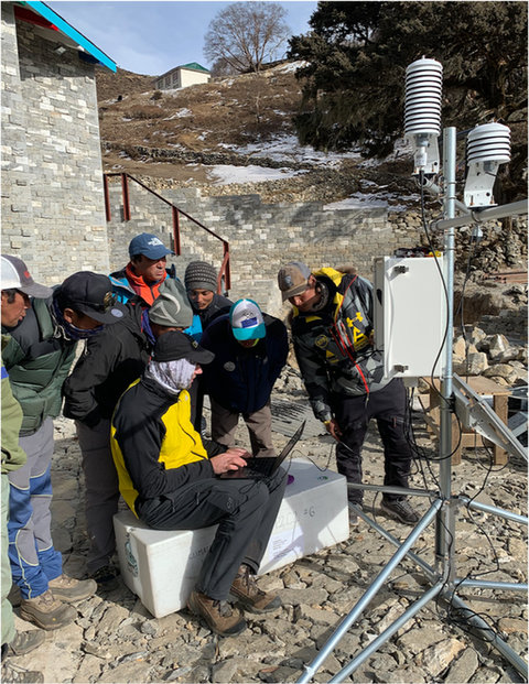
Theteamsetupaweather station.
Life at the Extremes
Theexpeditionhascollectednewdataaboutweatherandclimate.Tofindoutmore,visitnatgeo.com/everest