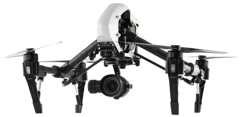
Weuseddronestotakephotosfromthe air.
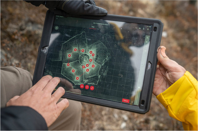
ThisLIDARscanshowsustheshapeofthe land.
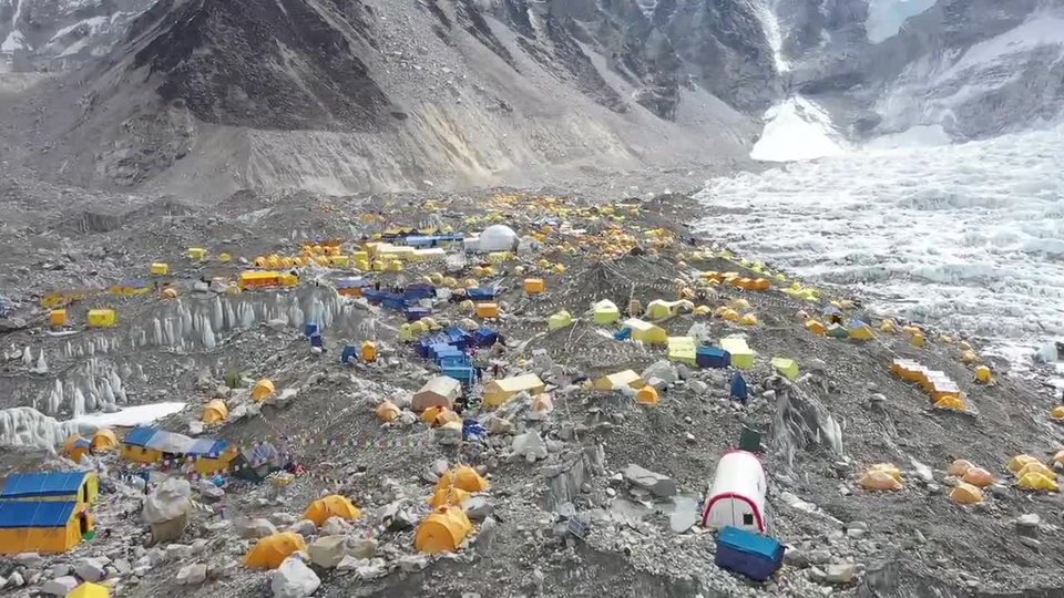
Bird's‑eyeView
TobestandingintheshadowofMountEverestisthrilling.AsTheGeographerattheNationalGeographicSociety,InormallyworkinanofficeatheadquartersinWashington,D.C.IworkwithalltheteamsthatmakemapsandprocessgeographicdataattheSociety.Somedays,Idesignmaps.Othertimes,Iworkwithateamtocollectmapdatawithoneofourresearchprograms.AndthatmeansthatIgettodofieldresearch,liketraveling
to Everest!
FortheEverestexpedition,myroleonthescienceteamwastomaptheareaaroundEverestBaseCampandalloftheKhumbuGlacier,thehighestglacieronEarth.Todothiswork,wecollectmappingdatausingtoolsontheground,ondrones,andonhelicopters.Wephotographalltheareaswewanttomap,andweuseatechnologycalledLIDAR.Itusesabeamoflighttomeasuretheshapeoftheland.Thenwebringthisdatahometocreatea map.
Usingdronesathighaltitudeishardworkforthedroneandforus!Theairisthinnerhere,andthebladesofthepropellersonthedronesneedtobesteepertohavemore“bite”astheyspin.ThecameraonthedronepointsdownatEarthandtakesdetailedpictures.Wecanstitchallthepicturestogetherintoabigmosaic.Thisiscalledaphoto‑map,andweuseittoseewhattheenvironmentlooksliketoday.Wecanthencompareittopast maps.
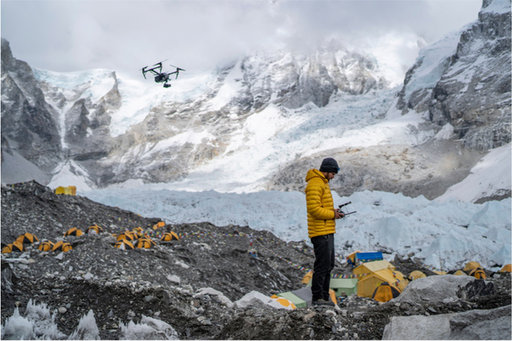
Ateammemberusedadroneto helpmapEverestBase Camp.
Ourteampracticedtakinganice core.
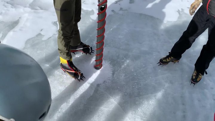
IceCores
Eachyear,theglacierhasnewsnowfallthatturnsintoice.Overtime,thelayersbuildupintoathickmassofice.Ourteamtookicecoresatseverallocationsalongtheroutetothesummit.What’sanicecore,andwhydoweneedthem?Weuseabigdrillwithahollowcenterthatdrivesdownintothesnowandice.Whenwepullitout,wehavealongpieceoficethatisacrosssectionofthe glacier.
Oncewehavetheicecores,wecanstudythelayersandfindoutwhattheclimatewaslikeinthepast.Ourglacierscientistsalsocollectedsnowsamplestoseehowmuchpollutionisinthe snow.
WeatherStations
Onewaytomeasurethechangingclimateistosetupautomaticweatherstations,orAWS.OurexpeditionputupthehighestAWSintheworld!Wesetupfiveofthesestations.Eachwillmeasuretemperature,precipitation,airpressure,andtheamountofsolarradiation.Eachwillsenddataviasatellitestoacomputer,sowecanmonitortheweather.That’sthe“automatic” part.
Aswecollectdataovermonthsandyears,wecanseehowtheweathercomparestootherplacesinNepalandaroundtheworld.Thelongertherecordyouhave,thebetteryoucanassesshowtheclimateischanging.OnebenefitofAWSdataisthatmeteorologistscanmakebetterforecastsforthosewhoareclimbingEverest,whichwillmakeclimbing safer.
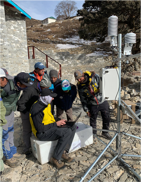
Theteamsetupaweather station.
ScienceandExploration
Theweekspassed.Itwasn’teasy.Wehadtowaitoutsnowstormsandenduregettingsick.Wehadtowatchforavalanchesandunderstandhowhighaltitudewouldaffectour bodies.
Yet,weallreturnedhomesafely.Withthedatawecollectedandwillcontinuetocollect,wecannowspreadthewordaboutwhatishappeningtoourhigh mountains.
LIFEAT
THEEXTREMES
Theexpeditionhascollectednewdataaboutweatherandclimate.Tofindoutmore,visitnatgeo.com/everest