Weuseddronestotakephotosfromthe air.
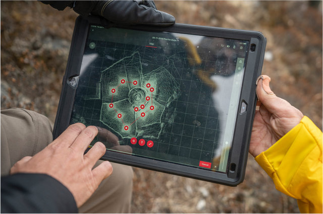
ThisLIDARscanshowsustheshapeofthe land.
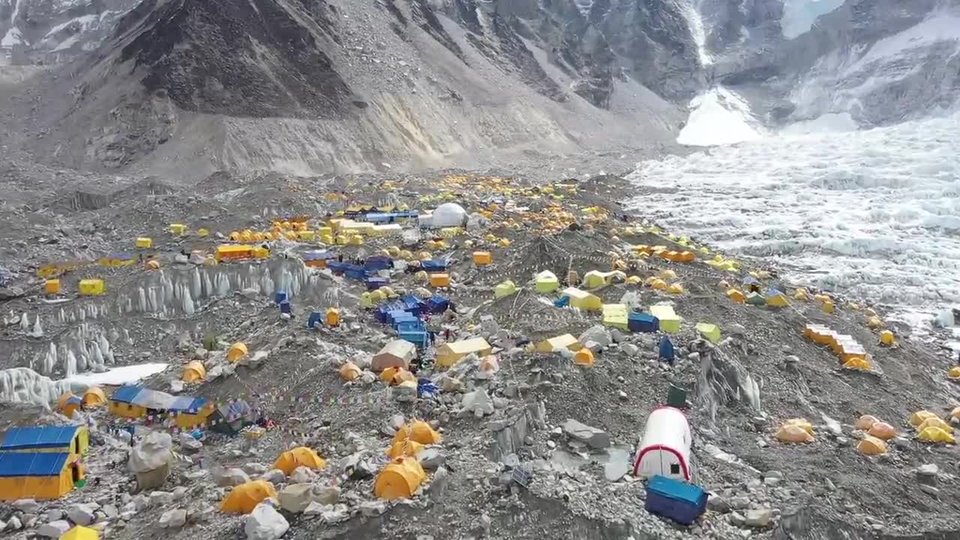
Bird's‑eyeView
TobestandingintheshadowofMountEverestisexciting.Inormallyworkinanoffice.Iworkwithteamsthatmakemaps.Ialsohelpcollectdatabytaking“fieldtrips,”likethis expedition.
Here,myrolewastomaptheareaaroundEverestBaseCamp.IalsomappedtheKhumbuglacier.Itisthehighestglacieron Earth.
Theteamcollecteddatausingmanytools.Wephotographedtheareaswewantedtomap.WeusedatechnologycalledLIDAR.Itusesabeamoflighttomeasuretheshapeofthe land.
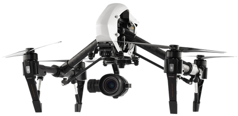
Wealsouseddrones.AcameraonadronepointsdownatEarth.Ittakesdetailedphotos.Weputthephotostogethertocreateabigpicture.Weusethisphoto‑maptoseewhatthearealookslike today.
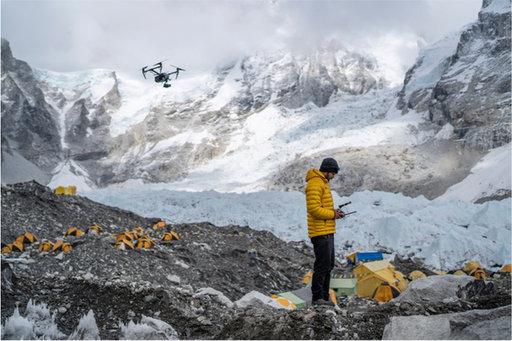
AteammemberusedadronetohelpmapEverestBase Camp.
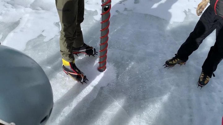
The teampracticedtakinganice core.
IceCores
Ourteamtookicecoresatseverallocations,too.Anicecoreisalongpieceofice.Itisacrosssectionoftheglacier.Wecanstudythelayersofice.Wefindoutwhattheclimatewaslikeinthepast.Snowsamplestellushowmuchpollutionisinthe snow.
WeatherStations
Wecanmeasuretheweather,too.Ourteamsetupautomaticweatherstations,orAWS.Wesetupfivestations.Eachwillmeasuretemperature,precipitation,pressure,andmore.Eachwillsenddataviasatellitestoa computer.
Overtime,wecanseehowtheclimateischanging.Wecanalsomakebetterweatherforecasts,whichwillmakeclimbing safer.
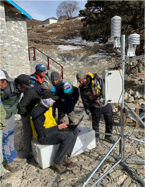
Theteamsetupaweather station.
ScienceandExploration
Theweekspassed.Wehadtowaitoutsnowstorms.Wehadtowatchforavalanches.Yet,weallreturnedhome safe.
Withthedatawecollectedandwillcollect,wecanspreadtheword.Now,peoplewillknowwhatishappeningtoourhigh mountains.
LIFEAT
THEEXTREMES
Theexpeditionhascollectednewdataaboutweatherand climate.
Tofindoutmore,visitwww.natgeo.com/everest